
Streets for All Aims to Help Neighbors Create a Safer, More Connected San Diego
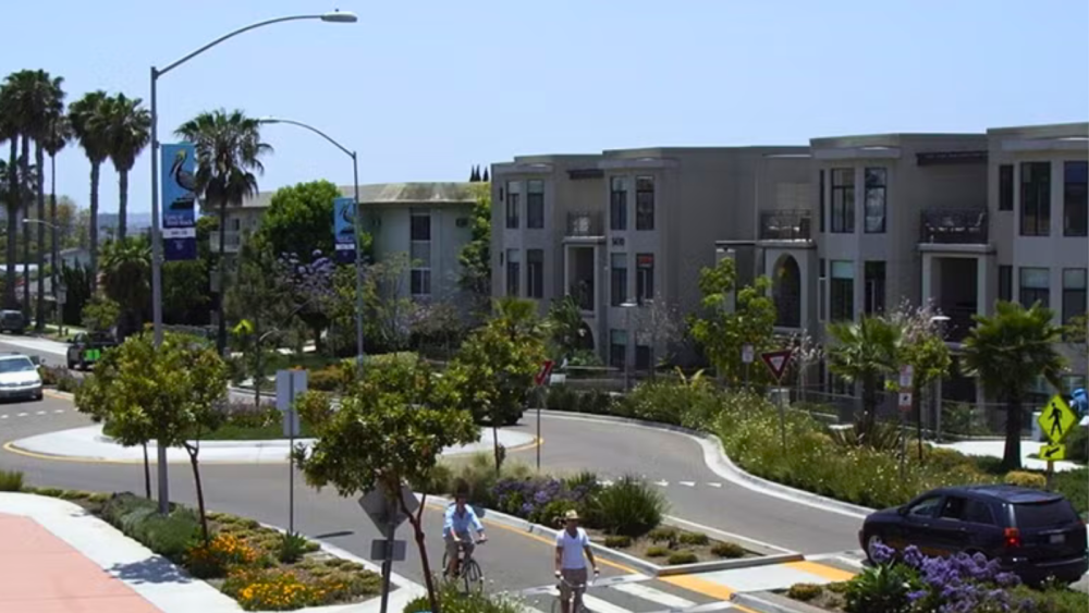
The City of San Diego has launched Streets for All, a new resource designed to guide communities that are interested in transforming their neighborhood streets into safer, more welcoming spaces, finding solutions to calm traffic or creating more spaces for neighbors to gather.
Streets for All is community-driven, meaning residents and businesses work together to develop and fund near-term “quick build” projects in their neighborhoods to calm traffic or create more gathering spaces. Communities can use the manual to help identify potential solutions to fit their location and existing conditions.
“The people who live and work in our neighborhoods know their communities best,” said City Planning Director Heidi Vonblum. “Streets for All provides San Diegans the tools to share ideas and bring improvements to their streets by working together toward a common goal.”
The City invites San Diegans to provide feedback and help shape this resource. The draft Streets for All manual outlines the available options and the steps communities could take to work together to implement them. San Diegans can review the manual and provide feedback via an online survey through Nov. 13, 2026.
How Does Streets for All Work?
The draft manual outlines three types of streets that communities could pursue, each offering different approaches to balancing vehicle access, pedestrian and bicycle safety, and opportunities for community gathering:
- Residential Healthy and Connected Streets: Prioritizes walking, biking and rolling while allowing drivers to travel through at slower speeds.
- Residential Calm Streets: Can partially or fully restrict vehicle traffic to create more space for neighbors to gather, play, walk, bike or roll.
- Business Healthy and Connected Streets: Creates more space for outdoor cafes, gathering, walking, biking and rolling in business districts, while allowing slower vehicle traffic and access for deliveries.
The draft manual includes photos and illustrations of different traffic-calming solutions, along with descriptions of how they work, to help community members visualize what these changes could look like in their neighborhoods.
Following the public comment period, the City will review community feedback and make any necessary refinements to the draft Streets for All manual. The manual is anticipated to be finalized in 2027. Neighborhoods, community and business groups and organizations can work together to identify potential locations and use the manual to help identify the types of solutions needed.
The draft Streets for All manual and additional information about the resource are available on the City Planning Department webpage.